
Monday, 6th August.
In terms of pubs Grassington turned out to be similar to Settle; they weren’t very good, and certainly didn’t live up to their locations. I was staying in the Foresters Arms, the roughest of the three by some distance and the friendliest too. The beer was good so after my Grassington wander I went back and sat there for the remainder of the evening while the locals got pissed round the pool table (well it was Sunday night after all!).
My room was below average, the shower was terrible but the bed was the comfiest I’ve slept in yet and I had a much needed 9 hour sleep. The breakfast ‘window’ was a mere 30 minutes, 8:30 till 9, so at 8:29 I was poised by my bedroom door, the furthest from the dining room. I didn’t appear to be the only one poised because I was last to arrive, with the clock still on 8:30. The waitress had clocked the order of arrival and took orders accordingly. I got through a serious amount of coffee this morning, finally leaving at 10.
I’d wanted to get away earlier than I did because Mike had prepared an alternative, much improved route to the one in my book. “About a mile longer” was his opening gambit, which later extended to 3, and in a text message this morning, 5. I had initially resisted as my 14 mile yomp looked very good on the map (“pissy” according to Mike, and “only 12 miles”, later reduced to 11 despite him having no idea where it actually went), but after several verbal assaults I gave in to the Fatman. “It goes over Great Whernside”, he said, “you’ve never been up there.” I have.
I wasn’t really bothered about what time I finished walking today, I just wasn’t sure how long it actually was, so I enjoyed the good paths and hammered along at 3mph (average on a road, good in the mountains). Feeling fit and now being used to carrying a pack helped. The route was indeed excellent, with only two pathless sections. The first was my route onto the Great Whernside ridge after 6 miles, which was hard work and pretty wild (with the ridge in mist most of the way up), through tufty grass, peat hags and heather.
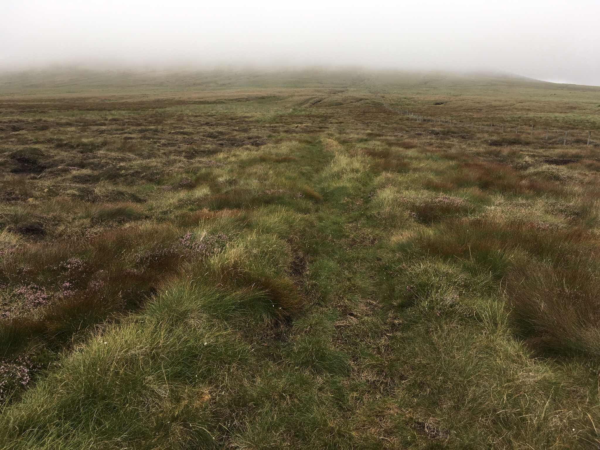
The ascent, after I’d found something resembling a path.

Looking ahead to Little Whernside - it’s looks lovely!
This was followed by a glorious 5 mile stretch along a broad ridge (no longer in mist), which inspired me to continue on the ridge for a final mile over Little Whernside rather than following the obvious path into a valley. This was a mistake, as the path disappeared and at the summit the peat hags gathered in earnest to form a maze of tough going yuckiness. My only consolation was that they were pretty dry, so I could at least be sure that I wouldn’t drown in quicksand.

The summit of Little Whernside - it’s crap.
I descended to a pair of reservoirs, also looking a bit on the dry side, for a very late lunch. Mike kept sending me text messages telling me to climb this and that while I was here, but I was more than happy with the walk I’d done, basically a huge arc.

Not very full Scar House Reservoir.

The view from the dam - it doesn’t look as empty as it is, and I had no idea that bird (a merlin?) was even in the photo!
The sun was out now and it was hot, which made the final up and over to Middlesmoor hard work. I’d been led to believe that Middlesmoor was in the back of beyond but it’s actually high above the very attractive Nidderdale valley. I’m staying in the Crown Hotel but the pub is closed on Mondays so the landlord is going to give me a lift to another Crown Hotel a mile or so down the hill for a meal, then pick me up afterwards. Which is nice.
Stats Zone:


No comments:
Post a Comment